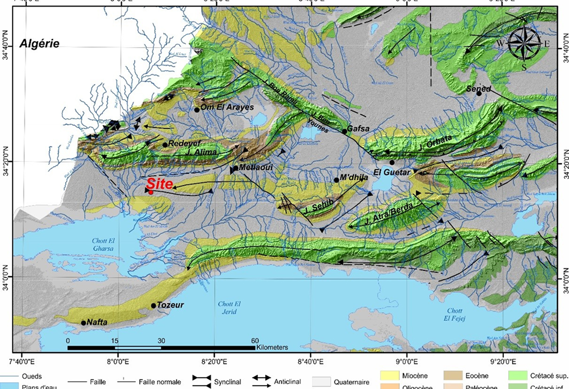
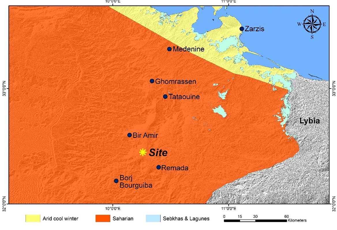

A geotechnical study identifies the characteristics of the soil on which a structure is to be built, in order to ensure its stability, durability and safety. It is a key step in reducing the technical and financial risks associated with ground behavior. At GEOCONSEIL, we carry out geotechnical studies in compliance with standard NF P 94-500, according to the different stages of the project (G1 to G5), based on field investigations, in situ tests and laboratory analyses.